Bays and Islands in Odisha
- There is only one bay in Odisha, i.e., Hukitola Bay. It is located on Jambu Island in Kendrapara district, which is located to the north of the Mahanadi river delta.
- It was formed from silt deposits. The bay has a building constructed by the British. The islands in Odisha are Abdul Kalam Island, Subalaya Island, and Shortt’s Island.
Abdul Kalam Island

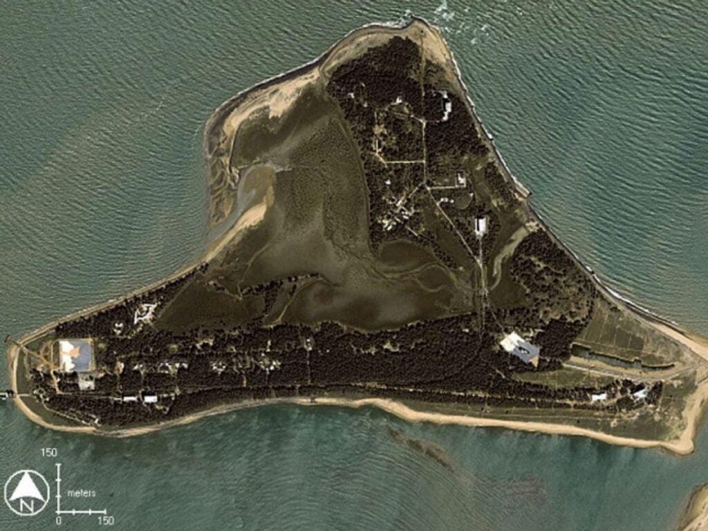
- Dr. Abdul Kalam Island is an island off the coast of Odisha, approximately 150 km north-east of the state capital Bhubaneshwar.
- The island was originally named after English Commandant Lieutenant Wheeler as Wheeler’s Island.
- On September 4, 2015, the island was renamed to honor the late Indian President, Dr. APJ Abdul Kalam. The ISRO rocket launch center is located on this island.
Subalaya Island

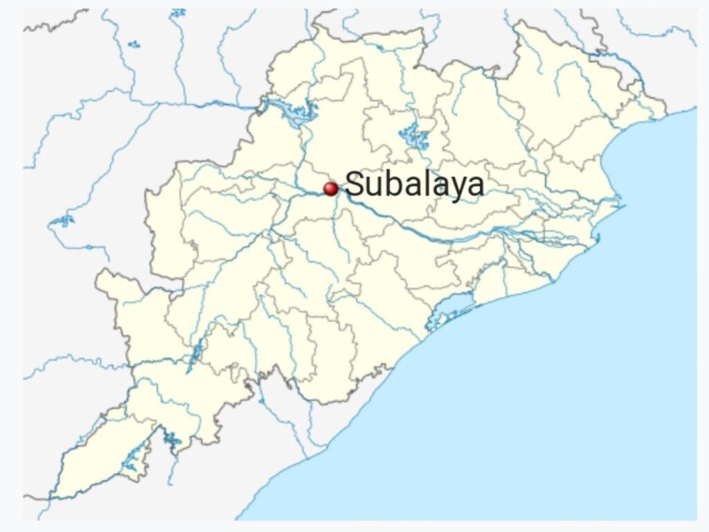
- Subalaya Island is located at the meeting place of the Mahanadi River and Surubalijora. It is 3.32 sq km in size. Shortt’s Island is located in Banasada Tehsil of Bhadrak district in Odisha. It is situated 37 km away from sub-district headquarters Banasada and 72 km away from district headquarters Bhadrak.
Shortt’s Island

| Island code | INOD001 |
| Name of the island | Shortt Island |
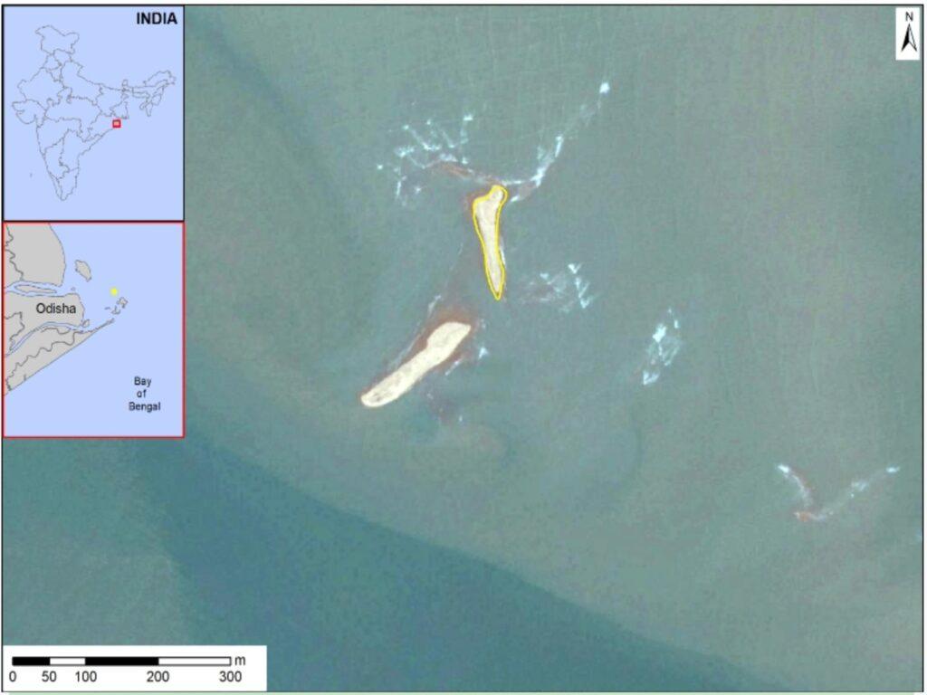
| Island note | Shortt Island is located to the east of Dhamra Port. The island is small and devoid of vegetation. It is susceptible to submergence due to sea level rise and frequent cyclone landfalls. |
| Type of island | Continental Island (Partly submerged) |
| State / UT | Odisha State |
| Location | Bay of Bengal (Island is located near the Outer Wheel Island) |
| Geographical coordinates |
|
| Area | 0.429 sq.km |
| Area range | Less than 2 sq.km |
| Terrain | Flat sand bar with gentle slope |
| Soil type | Deltaic alluvial and coastal sandy soil. (Source: CGWB Report, 2013) |
Climate
The island is located near Kendrapara.
The climate of Kendrapara is categorised as ‘Aw’ i.e., tropical savannah according to the Köppen-Geiger system of climate classification. The annual average temperature is 27.1°C, May being the warmest month at 31.5°C and December, the coldest at 21.4°C. The annual precipitation is 1498 mm with the highest precipitation of 333 mm seen in August. (Source: climate-data.org)
Read also :
Mohammed Siraj Height, Age, Girlfriend, Family, Biography & More